Damascus Dialogues: Made in Damascus
Machine-learning image segmentation of Damascus street images, mapping the city's materials and balconies as a basis for participatory design in post-conflict areas.
- Year
- 2017–2021
- Type
- Research
- Role
- Researcher
- Location
- Damascus, SY
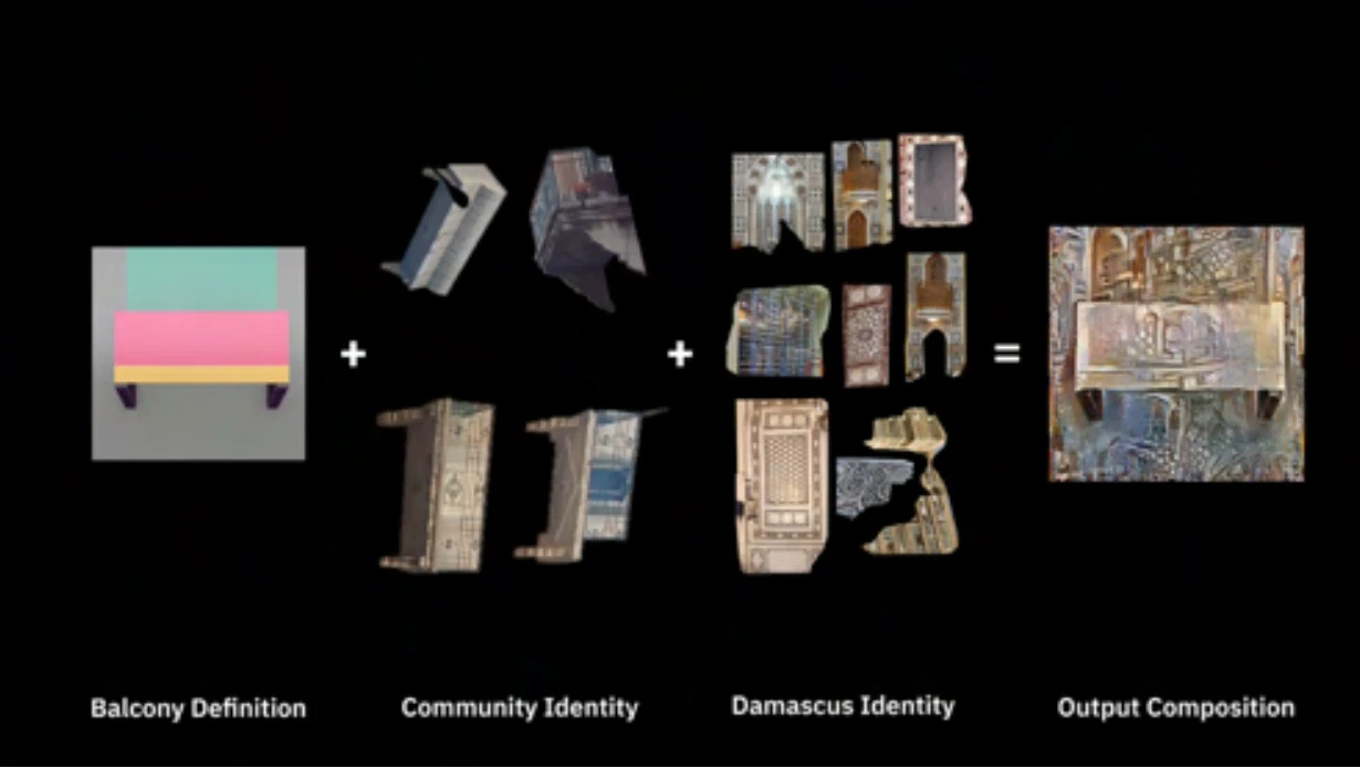
Made in Damascus looks at the materials of the city at multiple scales and turns them into a participatory design method that can be applied to post-conflict areas such as Zamalka. It starts from the city’s static elements, focusing on the balcony as the essential one: it mediates between private and public and shapes Damascus’s social and cultural identity. How could material in Zamalka be repurposed and reprogrammed into the city? How do we design a public balcony that represents both the building’s residents and the city — and could designing and building balconies together help design the new district?
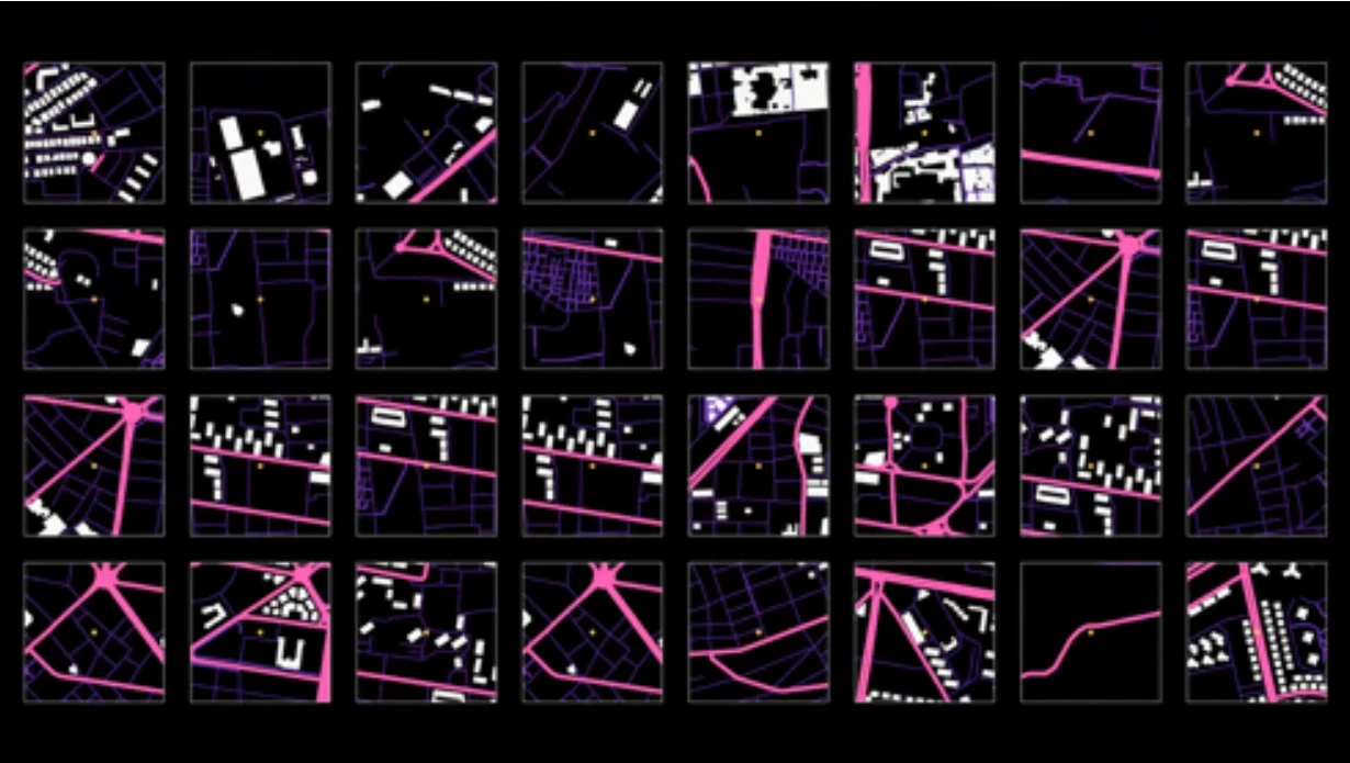
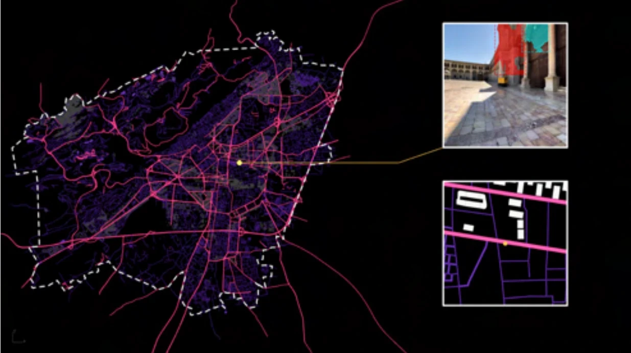
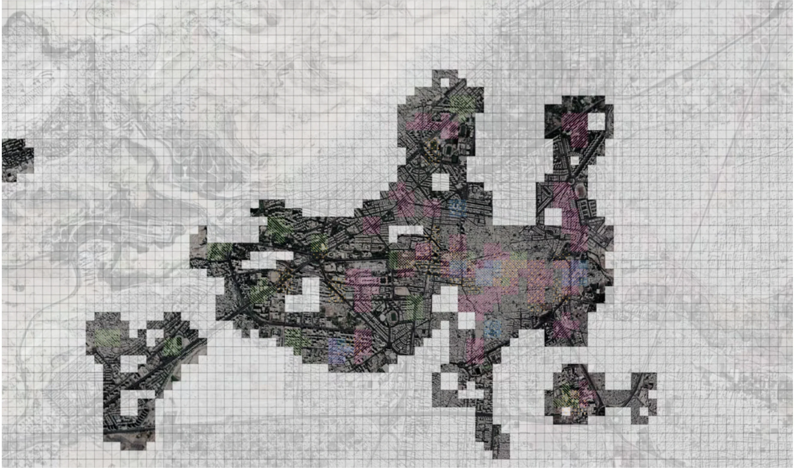
Using machine-learning image segmentation and data mining of street images, the project connects a personal selection of objects with the city context in detail. The selected objects train the program to define detection targets, which are then searched for across the whole dataset of street images. The result is a map of similarity that shows areas of interest for further investigation. The same method can also generate new image sets from the selected and detected objects. It brings the individual and the urban scale of materiality together through machine learning and data mining.